Interactive Map
Discover global panoramas, manage your personal photo library, and curate photos for your lessons.
Free Lessons
Explore a rich library of public lessons created by a global community of educators and learners.
Lesson Builder
Visually assemble scenes, add rich media infospots, link them with portals, and preview your work instantly.
Panoramic Photos
Interactive Lessons
Users
Discover Lessons on the Map
Explore a world of interactive lessons created by educators.

Example locations and pins for illustration.
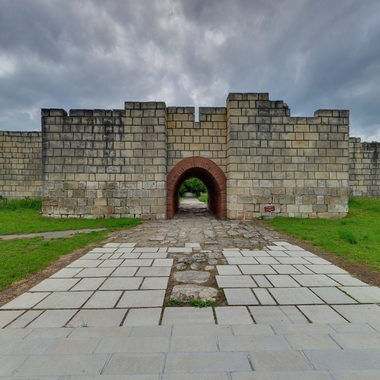
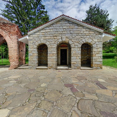
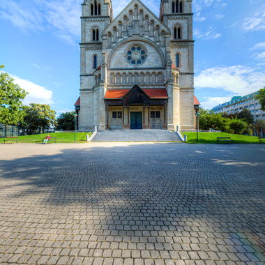
Thematic Collection: The Roman Empire
Explore a curated set of lessons covering the history, architecture, and culture of Ancient Rome.
Featured Lessons
View all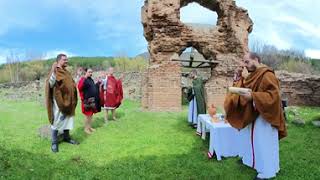
About Study360
Study360 turns 360° photos and video into interactive lessons. First add your panoramas to the Map as Public (usable by everyone) or Private (visible to all on the map, usable for lesson creation only by you). Then pick what you need and build: place infospots for text, images, web pages, YouTube or Sketchfab; link scenes with portals; set the starting view; and preview instantly on desktop, mobile, or WebVR. Autosave keeps your work safe while you create. When you publish, anyone can view the lesson—even if it includes your private panoramas.
Erasmus+ • S.P.Q.R – Schools and People of Europe
All content on the platform is for educational use only. Public photos may be reused by other creators. Copyright remains with the original authors.